Perak, Malaysia
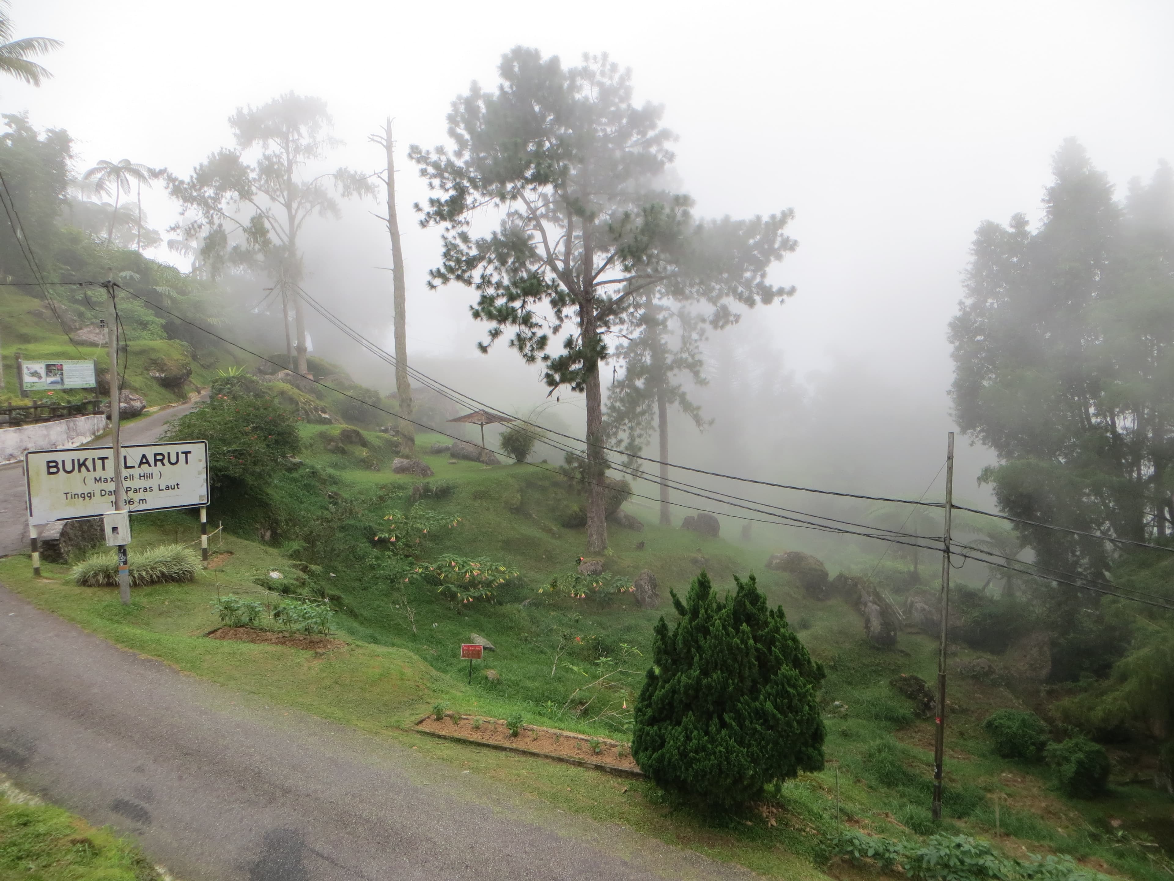
✓ VerifiedBukit Larut
1,250 m
Moderate
14 km
Distance
1,034 m
Elevation gain
No guide needed
Guide
Malaysia's oldest hill station at 1,250 m above Taiping — a remarkably lush colonial retreat with world-class birdwatching.
About this mountain
Bukit Larut (Maxwell Hill, 1,250 m) above Taiping, Perak, is Malaysia's oldest hill station, developed by the British in the 1880s and now a delightfully unspoiled highland retreat…
FAQ
How high is Bukit Larut?
Bukit Larut stands 1,250 metres above sea level.
Where is Bukit Larut?
Bukit Larut is located in Perak, Malaysia.
How difficult is Bukit Larut?
Bukit Larut is rated moderate, with a main route of about 14 km.
Do I need a permit to hike Bukit Larut?
No permit is required to hike Bukit Larut. No permit required. Bukit Larut is a public Forestry Department hill station — entry by foot trail or government Land Rover (book at Bukit Larut office, Taiping; RM6-10 each way, runs hourly subject to weather).
Do I need a guide for Bukit Larut?
A guide is optional for Bukit Larut. Guide not required. The 14 km tar road to the summit is one continuous switchback so route-finding is easy; a guide is only useful for birdwatching or off-road bungalow trails. Bring rain gear — Bukit Larut is the wettest place in Malaysia.
When is the best time to hike Bukit Larut?
Year-round
Community
Be the first to summit and share a photo
More mountains in Perak
Log this summit in Pacak
Track every climb, collect badges, share your story.
Coming soon on
App Store
Open in Pacak
Log this summit & track your climbs