
Selangor, Malaysia
✓ VerifiedGunung Gap
1,183 m
ModeratePermit required
3 km
Distance
320 m
Elevation gain
Guide required
Guide
Lower half of the famous Gap-Gus combo above Frasers Hill — short jungle climb from The Gap trailhead to a cement trig pillar on the Selangor-Pahang border, usually done as the warm-up before pushing on to Ulu Semangkok.
About this mountain
Gunung Gap is the closer, lower summit reached from The Gap on the old Bentong-Raub road below Frasers Hill. The trailhead sits at around 863m, tucked behind a row of old wooden pa…
Part of these traverses
FAQ
How high is Gunung Gap?
Gunung Gap stands 1,183 metres above sea level.
Where is Gunung Gap?
Gunung Gap is located in Selangor, Malaysia.
How difficult is Gunung Gap?
Gunung Gap is rated moderate, with a main route of about 3 km.
Do I need a permit to hike Gunung Gap?
Yes — a hiking permit is required for Gunung Gap. Selangor Forestry (SEFOREST) e-permit required — RM10 locals / RM30 foreigners. Apply at forestry.selangor.gov.my.
Do I need a guide for Gunung Gap?
Yes — a licensed guide is required to climb Gunung Gap. Official guide is mandatory under SEFOREST rules. Most hikers book a local guide who runs the combined Gap-Gus traverse.
When is the best time to hike Gunung Gap?
year-round
Community
1 summit on Pacak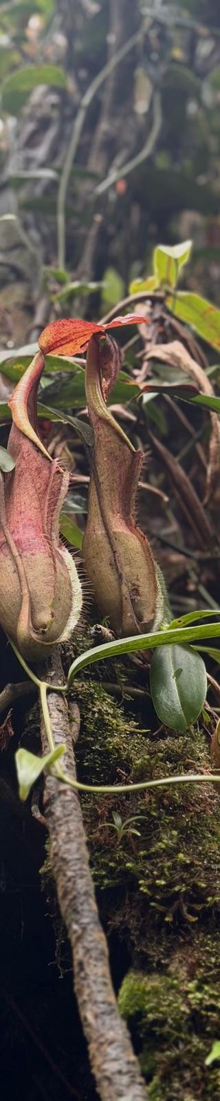
Trails
Trans Gap-Gus (recorded GPS)
Elevation profile↑720m ↓712m
7.38 km
Distance
2h 41m
Duration
+720 m
Gain
Route data © OpenStreetMap contributors
More mountains in Selangor
jungleridgemossygap-gusfraserpermitguide-requiredworkoutleeches
Log this summit in Pacak
Track every climb, collect badges, share your story.
Coming soon on
App Store
Open in Pacak
Log this summit & track your climbs