Sarawak, Malaysia
✓ VerifiedGunung Mulu
2,376 m
HardPermit required
48 km
Distance
2,900 m
Elevation gain
Guide required
Guide
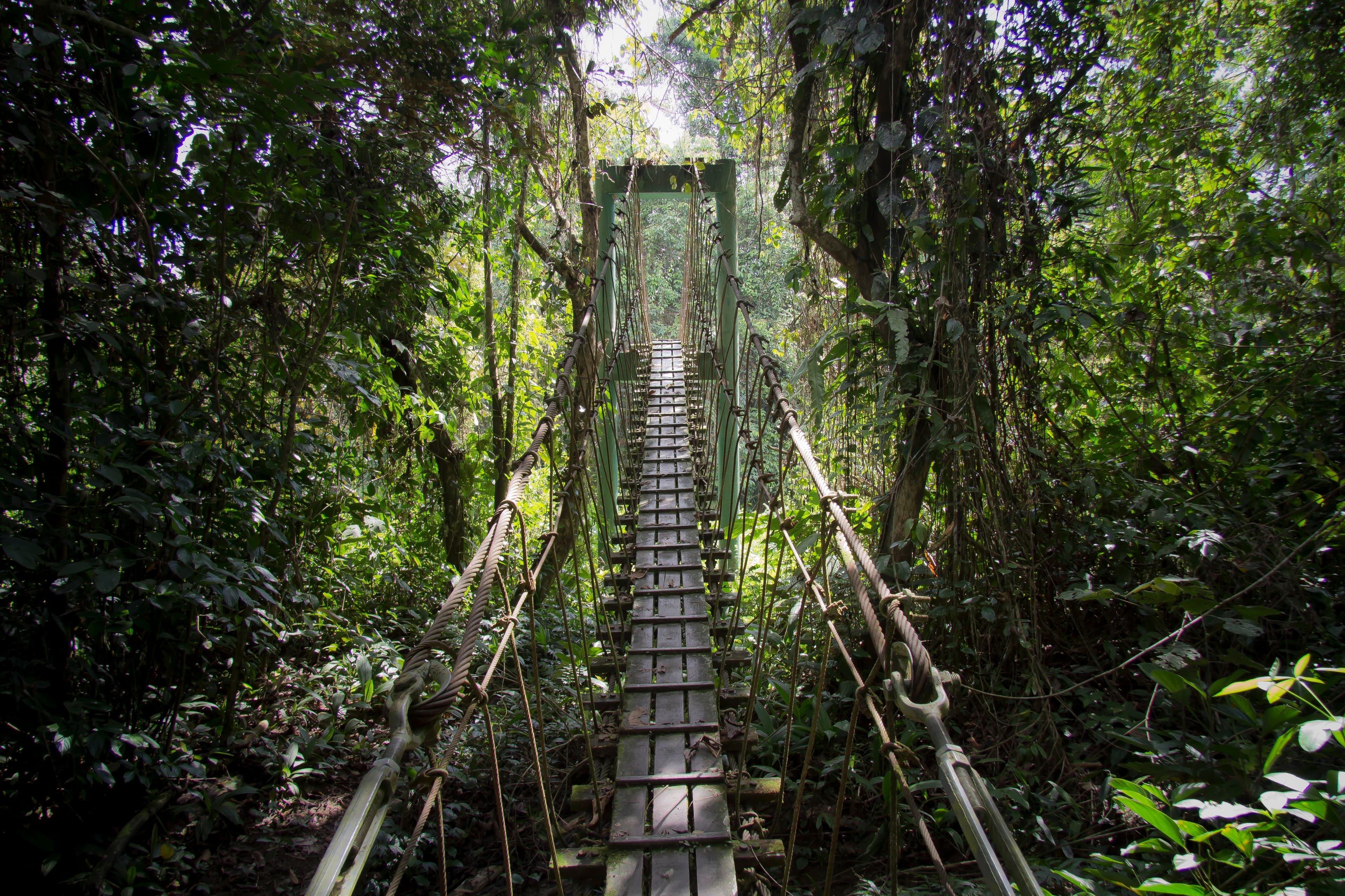
Sarawak's wild 2,376 m summit in a UNESCO cave-and-karst World Heritage park — a brutal 4-day jungle epic.
About this mountain
Gunung Mulu (2,376 m) is Sarawak's second-highest peak and lies within a UNESCO World Heritage national park famous for the world's largest cave chambers. The summit trail is a gru…
FAQ
How high is Gunung Mulu?
Gunung Mulu stands 2,376 metres above sea level.
Where is Gunung Mulu?
Gunung Mulu is located in Sarawak, Malaysia.
How difficult is Gunung Mulu?
Gunung Mulu is rated hard, with a main route of about 48 km.
Do I need a permit to hike Gunung Mulu?
Yes — a hiking permit is required for Gunung Mulu. Mulu National Park entry + Pinnacles permit. Day-pass and multi-day options.
Do I need a guide for Gunung Mulu?
Yes — a licensed guide is required to climb Gunung Mulu. Mandatory licensed park guide.
When is the best time to hike Gunung Mulu?
Mar–Oct
Community
Be the first to summit and share a photo
More mountains in Sarawak
Log this summit in Pacak
Track every climb, collect badges, share your story.
Coming soon on
App Store
Open in Pacak
Log this summit & track your climbs