Kedah, Malaysia
✓ VerifiedGunung Raya
881 m
EasyPark fee
10 km
Distance
800 m
Elevation gain
No guide needed
Guide
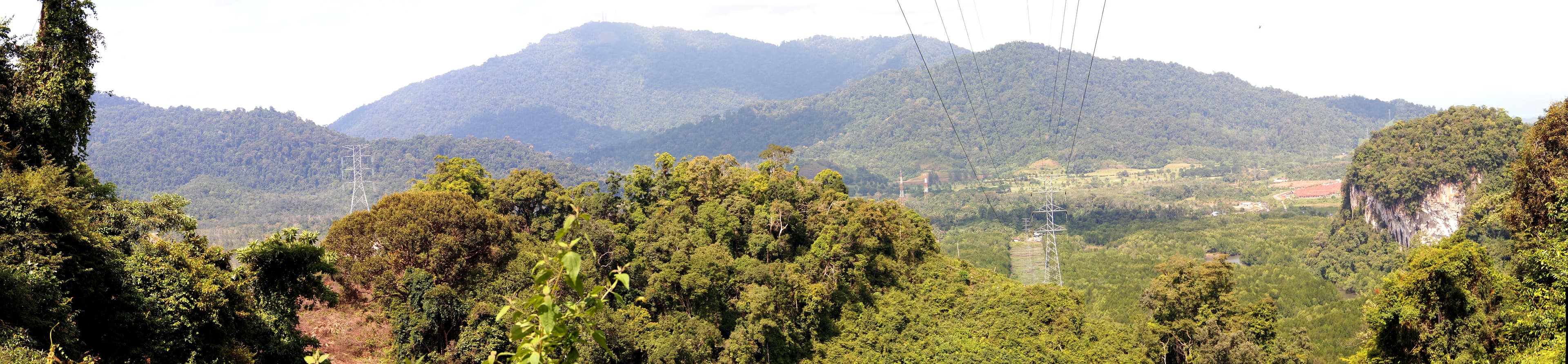
Highest point on Langkawi island. Drive the winding road for sunset or hike the jungle trail — eagles, monkeys and views of the Andaman.
About this mountain
Highest point on Langkawi island. Drive the winding road for sunset or hike the jungle trail — eagles, monkeys and views of the Andaman.
FAQ
How high is Gunung Raya?
Gunung Raya stands 881 metres above sea level.
Where is Gunung Raya?
Gunung Raya is located in Kedah, Malaysia.
How difficult is Gunung Raya?
Gunung Raya is rated easy, with a main route of about 10 km.
Do I need a permit to hike Gunung Raya?
Gunung Raya sits within a park, so a park entrance fee applies. Langkawi geopark fee.
Do I need a guide for Gunung Raya?
A guide is optional for Gunung Raya. Optional — drive option available.
When is the best time to hike Gunung Raya?
Year-round
Community
Be the first to summit and share a photo
More mountains in Kedah
scenicsunrise
Log this summit in Pacak
Track every climb, collect badges, share your story.
Coming soon on
App Store
Open in Pacak
Log this summit & track your climbs