Sabah, Malaysia
✓ VerifiedGunung Tambuyukon
2,579 m
HardPermit required
18 km
Distance
1,900 m
Elevation gain
Guide required
Guide
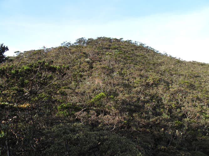
Wild, lesser-climbed sibling of Kinabalu. Pristine montane forest, no crowds, for hikers seeking solitude.
About this mountain
Wild and lesser-climbed peak inside Kinabalu Park. A 4-day expedition through pristine montane forest — for hikers who want solitude.
FAQ
How high is Gunung Tambuyukon?
Gunung Tambuyukon stands 2,579 metres above sea level.
Where is Gunung Tambuyukon?
Gunung Tambuyukon is located in Sabah, Malaysia.
How difficult is Gunung Tambuyukon?
Gunung Tambuyukon is rated hard, with a main route of about 18 km.
Do I need a permit to hike Gunung Tambuyukon?
Yes — a hiking permit is required for Gunung Tambuyukon. Permit via Sabah Parks. Expedition route, 4-day minimum.
Do I need a guide for Gunung Tambuyukon?
Yes — a licensed guide is required to climb Gunung Tambuyukon. Licensed expedition guide mandatory.
When is the best time to hike Gunung Tambuyukon?
May–Sep
Community
Be the first to summit and share a photo
More mountains in Sabah
hiddenovernight
Log this summit in Pacak
Track every climb, collect badges, share your story.
Coming soon on
App Store
Open in Pacak
Log this summit & track your climbs