Johor, Malaysia
✓ VerifiedGunung Belumut
1,010 m
Moderate
10 km
Distance
800 m
Elevation gain
No guide needed
Guide
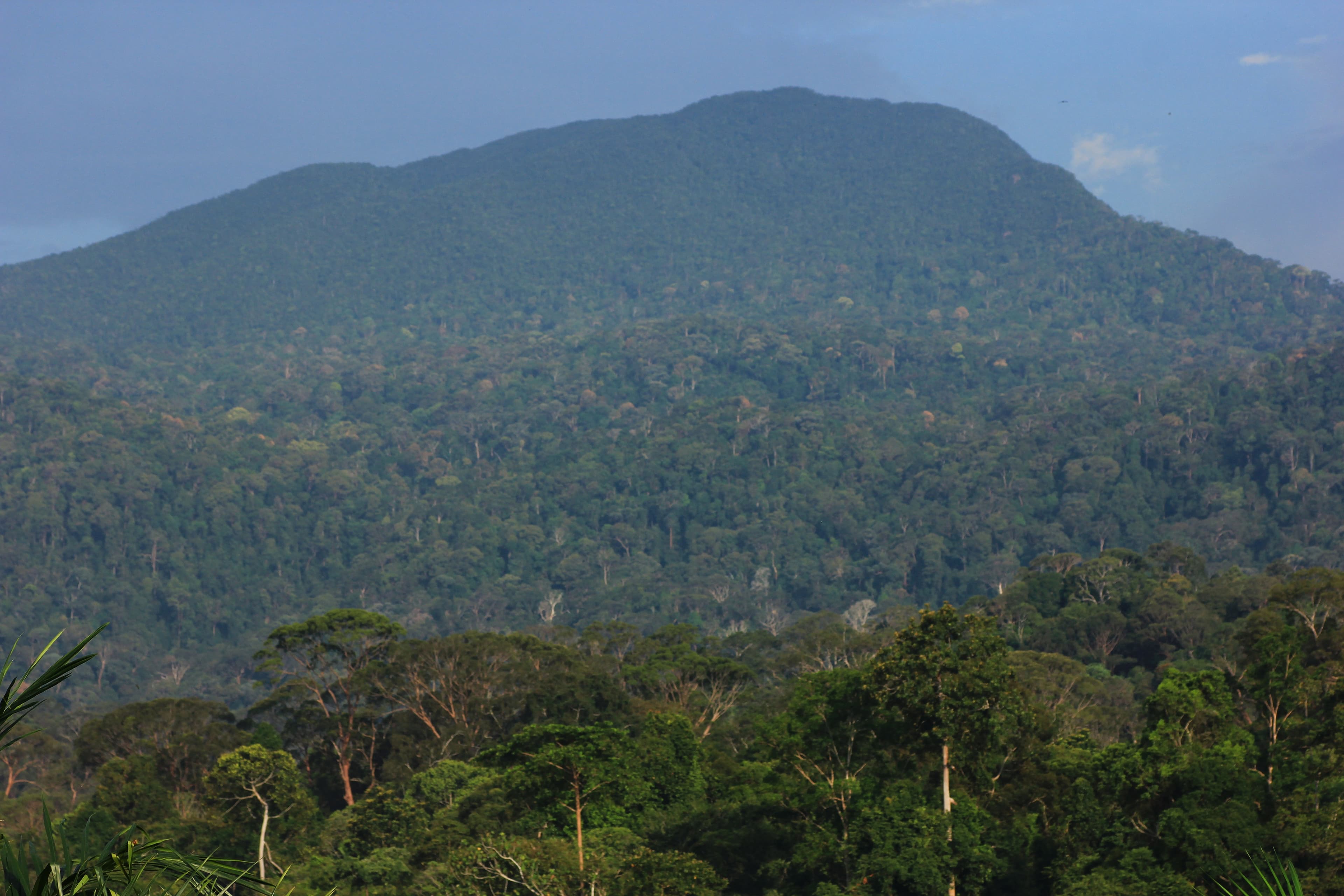
Johor forest summit near Kluang, with a long humid climb and broad views when the weather opens.
About this mountain
Quiet Johor jungle peak. Camp near a clearwater stream and summit through dense lowland forest.
Part of these traverses
FAQ
How high is Gunung Belumut?
Gunung Belumut stands 1,010 metres above sea level.
Where is Gunung Belumut?
Gunung Belumut is located in Johor, Malaysia.
How difficult is Gunung Belumut?
Gunung Belumut is rated moderate, with a main route of about 10 km.
Do I need a permit to hike Gunung Belumut?
No permit is required to hike Gunung Belumut.
Do I need a guide for Gunung Belumut?
A guide is optional for Gunung Belumut.
When is the best time to hike Gunung Belumut?
Mar-Sep
Community
Be the first to summit and share a photo
Trails
Gunung Belumut Trail
Elevation profile↑918m ↓17m
5.34 km
Distance
2h 36m
Duration
+918 m
Gain
Gunung Belumut (NW approach)
Elevation profile↑913m ↓0m
5.59 km
Distance
2h 38m
Duration
+913 m
Gain
Gunung Belumut via to Gua Rimau
Elevation profile↑1064m ↓168m
5.46 km
Distance
2h 52m
Duration
+1064 m
Gain
Route data © OpenStreetMap contributors
Log this summit in Pacak
Track every climb, collect badges, share your story.
Coming soon on
App Store
Open in Pacak
Log this summit & track your climbs