Johor, Malaysia
✓ VerifiedGunung Lambak
510 m
Easy
5 km
Distance
450 m
Elevation gain
No guide needed
Guide
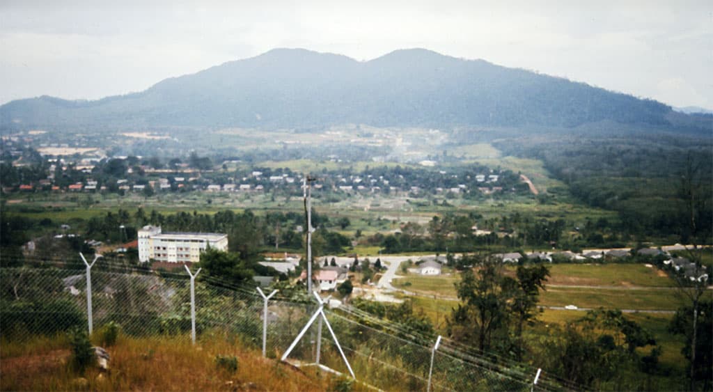
Kluang's hometown peak — a 510m inselberg with shaded trails, a renovated boardwalk summit, and panoramic views over town and oil palm plains.
About this mountain
Gunung Lambak Recreational Forest is Kluang's most-loved hike. The trail starts gently on a paved forest road, then turns into a jungle climb with steps, railings, and root section…
FAQ
How high is Gunung Lambak?
Gunung Lambak stands 510 metres above sea level.
Where is Gunung Lambak?
Gunung Lambak is located in Johor, Malaysia.
How difficult is Gunung Lambak?
Gunung Lambak is rated easy, with a main route of about 5 km.
Do I need a permit to hike Gunung Lambak?
No permit is required to hike Gunung Lambak. No permit required — open recreational forest under Kluang Municipal Council (MPK).
Do I need a guide for Gunung Lambak?
A guide is optional for Gunung Lambak. Not required. Trail is well-marked with signage, steps, and railings.
When is the best time to hike Gunung Lambak?
Year-round
Community
1 summit on PacakBe the first to summit and share a photo
More mountains in Johor
Log this summit in Pacak
Track every climb, collect badges, share your story.
Coming soon on
App Store
Open in Pacak
Log this summit & track your climbs