Johor, Malaysia
✓ VerifiedGunung Lambak (Selatan)
470 m
Easy
4 km
Distance
420 m
Elevation gain
No guide needed
Guide
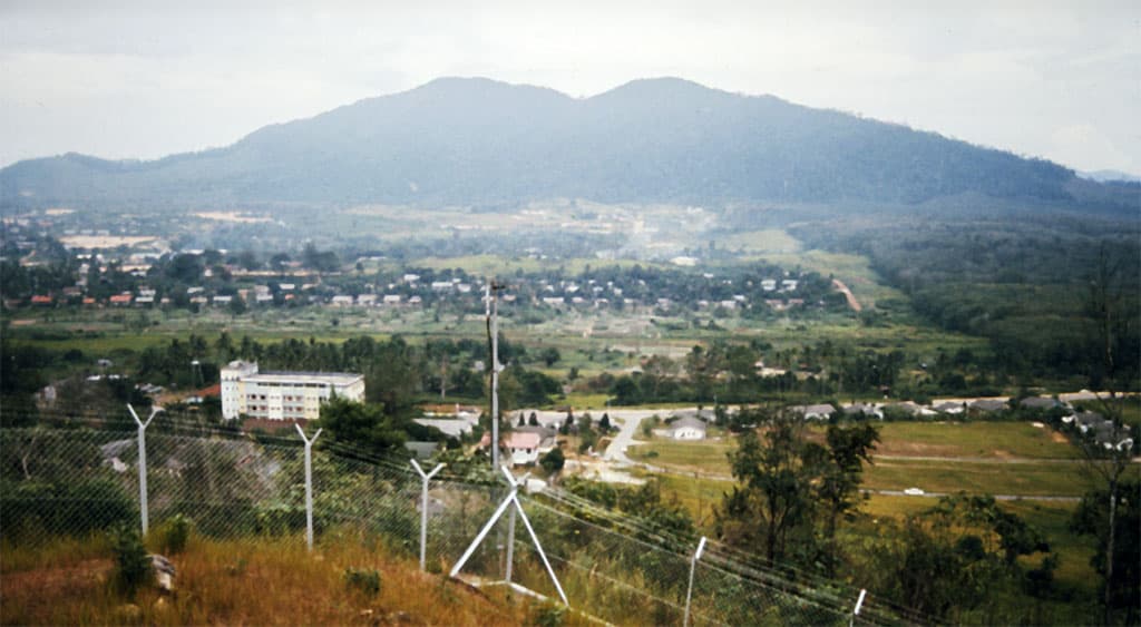
Lambak's 470m south sister peak — the second half of the Trans Lambak Butterfly traverse, jungle ridge with no boardwalk, much quieter than the main summit.
About this mountain
Gunung Lambak (Selatan) is the south peak of the Lambak massif, separated from the main north summit by a forested saddle. The classic way to bag it is the Trans Lambak Butterfly t…
FAQ
How high is Gunung Lambak (Selatan)?
Gunung Lambak (Selatan) stands 470 metres above sea level.
Where is Gunung Lambak (Selatan)?
Gunung Lambak (Selatan) is located in Johor, Malaysia.
How difficult is Gunung Lambak (Selatan)?
Gunung Lambak (Selatan) is rated easy, with a main route of about 4 km.
Do I need a permit to hike Gunung Lambak (Selatan)?
No permit is required to hike Gunung Lambak (Selatan). No permit required — same MPK recreational forest as the main Lambak hike. Register at the base park if signage requests.
Do I need a guide for Gunung Lambak (Selatan)?
A guide is optional for Gunung Lambak (Selatan). Recommended. The south-peak trail is less defined than the main summit route and the Trans Lambak Butterfly traverse has unmarked junctions. Locals run guided traverse trips on weekends.
When is the best time to hike Gunung Lambak (Selatan)?
Year-round
Community
Be the first to summit and share a photo
More mountains in Johor
jungletraversequietworkoutadventure
Log this summit in Pacak
Track every climb, collect badges, share your story.
Coming soon on
App Store
Open in Pacak
Log this summit & track your climbs