Johor, Malaysia
✓ VerifiedGunung Lambak (Utara)
510 m
Moderate
3.5 km
Distance
470 m
Elevation gain
No guide needed
Guide
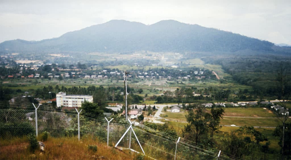
The harder north-ridge route up Gunung Lambak's main summit — steeper, more rooty, and quieter than the paved tourist trail.
About this mountain
Gunung Lambak (Utara) refers to the moderate north-ridge ascent to the 510m main summit, an alternative to the easy paved/boardwalk route. The trail leaves the MPK recreational for…
FAQ
How high is Gunung Lambak (Utara)?
Gunung Lambak (Utara) stands 510 metres above sea level.
Where is Gunung Lambak (Utara)?
Gunung Lambak (Utara) is located in Johor, Malaysia.
How difficult is Gunung Lambak (Utara)?
Gunung Lambak (Utara) is rated moderate, with a main route of about 3.5 km.
Do I need a permit to hike Gunung Lambak (Utara)?
No permit is required to hike Gunung Lambak (Utara). No permit required — open recreational forest under Kluang Municipal Council (MPK). Register at the base if signage requests.
Do I need a guide for Gunung Lambak (Utara)?
A guide is optional for Gunung Lambak (Utara). Not strictly required, but recommended for first-timers on the north ridge — steeper terrain and a few unmarked junctions vs the standard route.
When is the best time to hike Gunung Lambak (Utara)?
Year-round
Community
Be the first to summit and share a photo
More mountains in Johor
scenicsunrise
Log this summit in Pacak
Track every climb, collect badges, share your story.
Coming soon on
App Store
Open in Pacak
Log this summit & track your climbs